
xFarm
Manage farm activities, equipment and environmental data in one system
Use satellite data to understand and manage fields
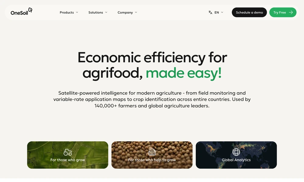
OneSoil is a precision agriculture platform that turns satellite imagery and field information into practical tools for farmers and agricultural service providers. Users can monitor crop development, examine differences within a field, and create variable-rate application maps to guide inputs such as seed or fertilizer. The platform helps identify areas that deserve closer inspection.
Agricultural advisers can use the same information to support customers and prepare recommendations across multiple farms. OneSoil also offers broader agricultural analytics for organizations monitoring production, suppliers, or regional conditions. Its tools connect field-level observations with planning and reporting for day-to-day farm operations and larger agricultural programs.
Tried it? Share a useful thought or ask a question.
Good conversations start with a hello.
Sign in to commentManage farm activities, equipment and environmental data in one system
Organize crops, livestock, and farm operations
Connect farm records, operations and agricultural advisory workflows
Plan field work and share farm records with your agricultural team
Manage agricultural programs, records, and funding workflows
Support regenerative farming programs with field data and verified outcomes