

HERE WeGo
Find routes and navigate with downloadable maps.
Find urban bus and tram routes with walking connections
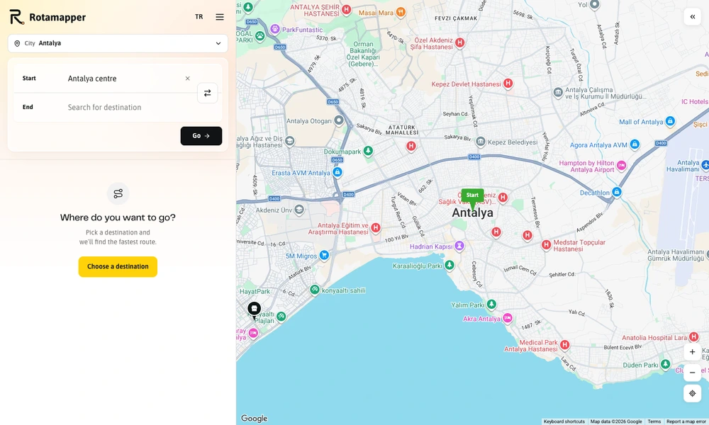
Rotamapper helps users work out a public-transport journey within supported cities. Enter a starting point and destination to compare a route across bus or tram lines, including the walking distances and transfers needed between them. A map shows the network so the suggested itinerary can be understood in its local context. Stop information connects locations with the lines that serve them and available departure details. Coverage and timetable options vary by city, while city pages and destination guides provide additional context for visitors. The web application is useful for checking an unfamiliar journey before leaving or understanding how a local transit network fits together.
Tried it? Share a useful thought or ask a question.
Good conversations start with a hello.
Sign in to commentFind routes and navigate with downloadable maps.
Find interesting running and cycling routes through a city.
Find a meeting point that balances driving time between several starting places.
Outdoor maps with route planning and activity tracking.
Plan boat journeys with nautical charts and depth-aware routes.
Plan longer routes and export them to navigation apps