

SunMetricLab
Estimate solar sizing and costs with adjustable inputs
Explore sunlight, shadows, and solar potential in 3D
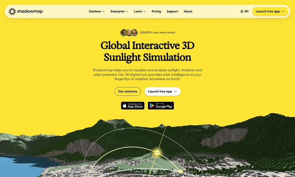
Shadowmap visualizes sunlight and shadows on an interactive three-dimensional map. Users can explore a location, change the date and time, and see how surrounding buildings and terrain affect access to sunlight. The tool supports questions ranging from when a garden receives sun to how a proposed building might shade its surroundings.
Professional tools add solar exposure analysis and support for custom three-dimensional models. Architects, solar planners, property researchers, and photographers can use the results to compare locations or investigate a specific site. Shadowmap brings geographic context and the movement of the sun together in a visual planning environment.
Tried it? Share a useful thought or ask a question.
Good conversations start with a hello.
Sign in to commentEstimate solar sizing and costs with adjustable inputs
Connect solar generation, energy storage and system monitoring
Arrange home solar and battery installation with ongoing system support
Explore home solar panels, battery storage and installation options
Monitor home energy equipment and arrange maintenance or repairs
Energy supply and services for electrified homes