
DJI
Camera drones and aerial imaging equipment
Capture aerial imagery with drones for inspection, mapping and other field work
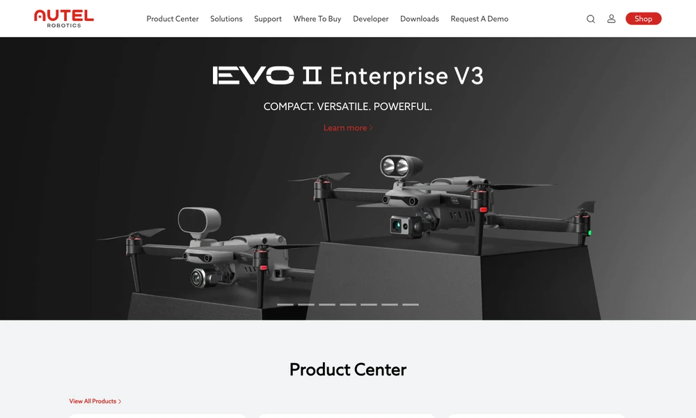
Autel Robotics makes drones and equipment for collecting aerial imagery and measurements. Its enterprise aircraft offer different payloads and operating features, with selected models supporting thermal imaging, optical zoom, RTK positioning, or obstacle sensing. Inspection, surveying, and mapping workflows use those capabilities to gather information in the field.
Remote-operation equipment such as EVO Nest provides another way to organize compatible drone missions. Applications, downloads, and developer resources support the workflows around the aircraft. A team selects a drone and payload for the imagery it needs, then works with the corresponding software and accessories to collect and review the resulting aerial records.
Tried it? Share a useful thought or ask a question.
Good conversations start with a hello.
Sign in to commentCamera drones and aerial imaging equipment
Plan, simulate, and run repeatable robotic inspection workflows.
Robots and software for industrial automation
An open-source biped robot for learning and experimenting with reinforcement learning
A humanoid robot for locomotion and whole-body control research.
General-purpose humanoid robots for everyday physical tasks