

ArcGIS
Map, manage, and analyze geographic information across desktop, cloud, and field work
Add customizable maps, location search, and navigation to apps and services
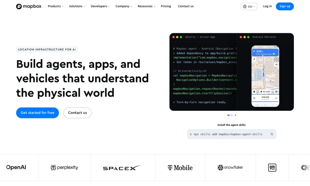
Mapbox provides maps, location search, and navigation tools for applications and vehicles. Developers use Mapbox GL JS or mobile SDKs to add interactive maps, then configure their appearance in Studio. Geocoding, address search, autocomplete, and static map services handle other parts of a location-based interface.
Navigation tools supply route planning and turn-by-turn experiences, with data products for traffic, movement, and geographic boundaries. A delivery application can combine an address search, a driver's map, and route guidance through those APIs and SDKs. The same building blocks support other uses such as logistics, weather displays, or outdoor maps with a customized visual style.
Tried it? Share a useful thought or ask a question.
Good conversations start with a hello.
Sign in to commentMap, manage, and analyze geographic information across desktop, cloud, and field work
Create maps, edit spatial data, and run geospatial analysis with open-source GIS
Turn Google Sheets locations into an embeddable store finder
Explore historical events, people, and borders on an interactive globe
Design and deliver custom maps through SDKs, APIs, and geodata tools
Use AI agents to analyze Earth data and physical asset risks