

ArcGIS
Map, manage, and analyze geographic information across desktop, cloud, and field work
Create maps, edit spatial data, and run geospatial analysis with open-source GIS
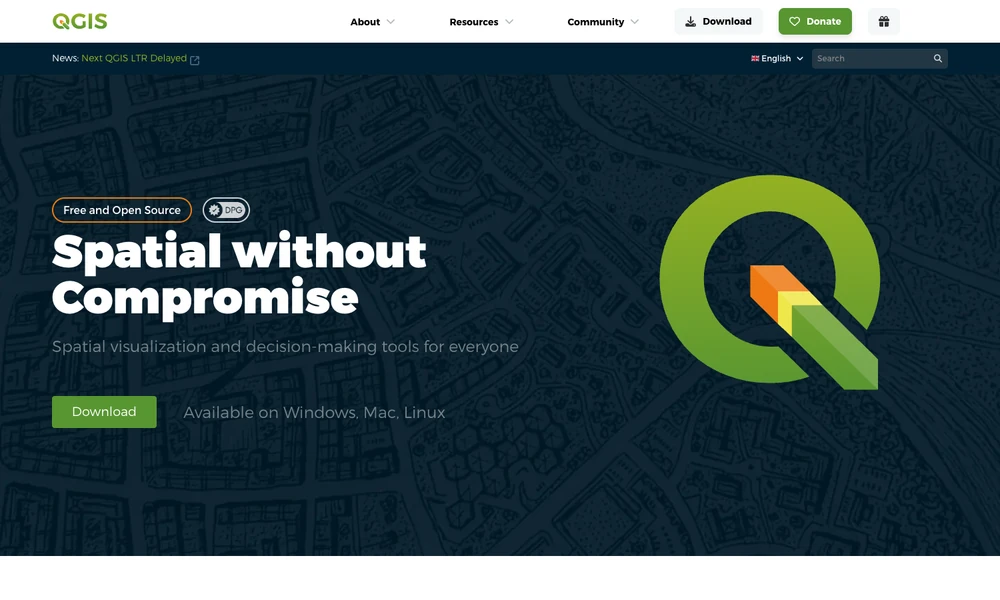
QGIS is an open-source desktop geographic information system for mapping, editing spatial data, and analysis. Users combine layers, adjust their appearance, and work with points, lines, polygons, or meshes. Analytical tools help investigate geographic relationships for planning, research, or environmental work.
The layout designer prepares maps for publication, with atlas and reporting tools that combine maps and tables. Processing tools can be connected visually into repeatable analysis workflows. Plug-ins and other extensions add capabilities to the desktop environment. A team can prepare a dataset, perform the spatial analysis, and turn the resulting layers into a map or report on Windows, macOS, or Linux.
Tried it? Share a useful thought or ask a question.
Good conversations start with a hello.
Sign in to commentMap, manage, and analyze geographic information across desktop, cloud, and field work
Explore spatial patterns through linked maps and statistical analysis
Generate editable contour maps and elevation point artwork from real terrain data.
Analyze spatial data in a cloud GIS platform
Bring operational data together on interactive maps
Turn smartphone trench captures into CAD plans and spatial documentation.