

QGIS
Create maps, edit spatial data, and run geospatial analysis with open-source GIS
Map, manage, and analyze geographic information across desktop, cloud, and field work
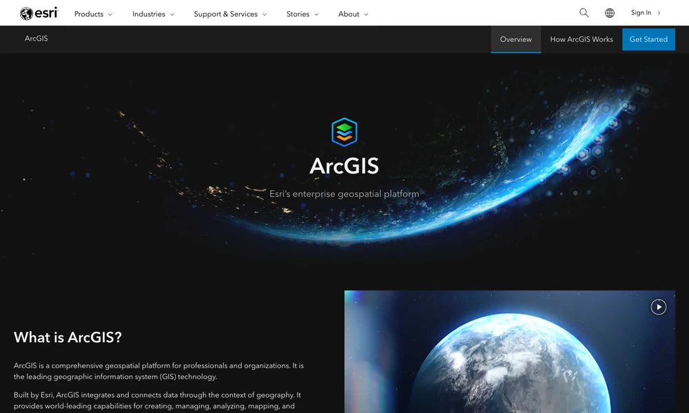
ArcGIS is a geospatial platform for creating, managing, analyzing, and sharing data through location. Organizations use its mapping, spatial modeling, imagery, and remote-sensing tools for work such as planning, asset management, site research, and environmental monitoring. Maps can present information in both two and three dimensions.
ArcGIS Pro supports desktop work, ArcGIS Online provides hosted services, and ArcGIS Enterprise supports self-managed deployments. Field applications collect geographic information and can support disconnected work, while developer tools add maps and spatial analysis to other applications. A team can collect records in the field, analyze their geographic relationships, and share the resulting map or application with its audience.
Tried it? Share a useful thought or ask a question.
Good conversations start with a hello.
Sign in to commentCreate maps, edit spatial data, and run geospatial analysis with open-source GIS
Generate editable contour maps and elevation point artwork from real terrain data.
Analyze spatial data in a cloud GIS platform
Bring operational data together on interactive maps
Turn smartphone trench captures into CAD plans and spatial documentation.
Explore spatial patterns through linked maps and statistical analysis