

TopoLines
Generate editable contour maps and elevation point artwork from real terrain data.
Design and deliver custom maps through SDKs, APIs, and geodata tools
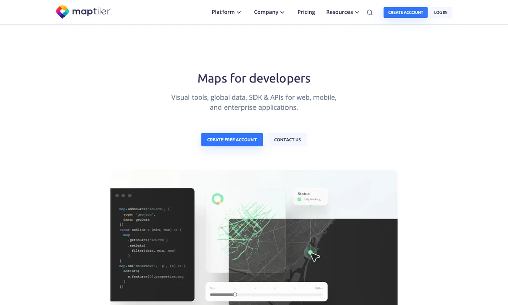
MapTiler supplies map data, design tools, and developer APIs for location-based applications. Teams can start with a ready-made street, satellite, or outdoor map, customize its appearance, and add their own geographic information. The TypeScript SDK supports interactive web maps, while search, geocoding, and IP-location services add location functions.
Data publishing tools accept formats such as TIFF, GeoJSON, KML, and GPX. Weather layers provide another option for visualization. Maps can be delivered through cloud hosting or deployed on local infrastructure, with Server handling self-hosted delivery and Engine processing geodata. Developers can choose the data and deployment route around the application they are building.
Tried it? Share a useful thought or ask a question.
Good conversations start with a hello.
Sign in to commentGenerate editable contour maps and elevation point artwork from real terrain data.
Turn smartphone trench captures into CAD plans and spatial documentation.
Map, manage, and analyze geographic information across desktop, cloud, and field work
Explore spatial patterns through linked maps and statistical analysis
Create maps, edit spatial data, and run geospatial analysis with open-source GIS
Create maps, analyze spatial data, and build geographic applications