

TopoLines
Generate editable contour maps and elevation point artwork from real terrain data.
Create maps, analyze spatial data, and build geographic applications
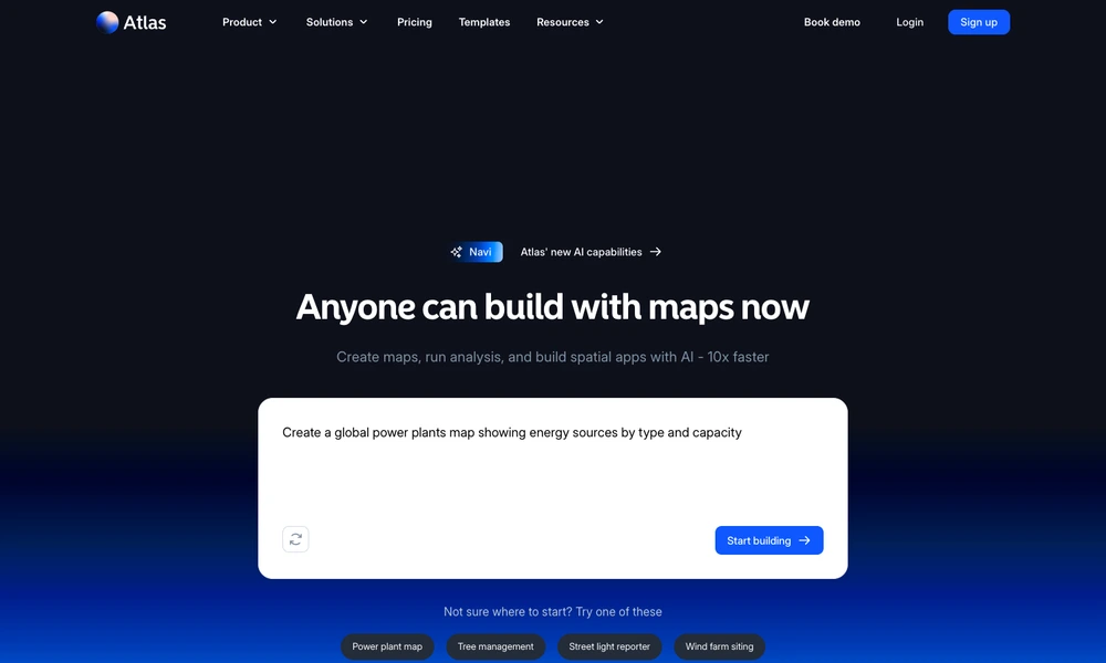
Atlas is a mapping workspace for creating maps, analyzing spatial information, and building applications around location data. Its AI capabilities let users describe what they want to make, while templates provide starting points for projects such as property dashboards, power plant maps, tree management, and site selection.
The platform brings visualization, spatial analysis, widgets, and application building into the same environment. Teams can create, collaborate on, and share projects without separating each step into a different tool. Atlas serves uses in real estate, energy, public services, retail, and environmental planning, where geographic patterns need to become something colleagues can explore and use.
Tried it? Share a useful thought or ask a question.
Good conversations start with a hello.
Sign in to commentGenerate editable contour maps and elevation point artwork from real terrain data.
Explore simulated window views and sunlight on a three-dimensional globe.
Analyze spatial data in a cloud GIS platform
Explore satellite positions and public orbital information in a continuously updated 3D environment.
Explore countries and their economies on an interactive globe
Use AI agents to analyze Earth data and physical asset risks