

ArcGIS
Map, manage, and analyze geographic information across desktop, cloud, and field work
Generate editable contour maps and elevation point artwork from real terrain data.
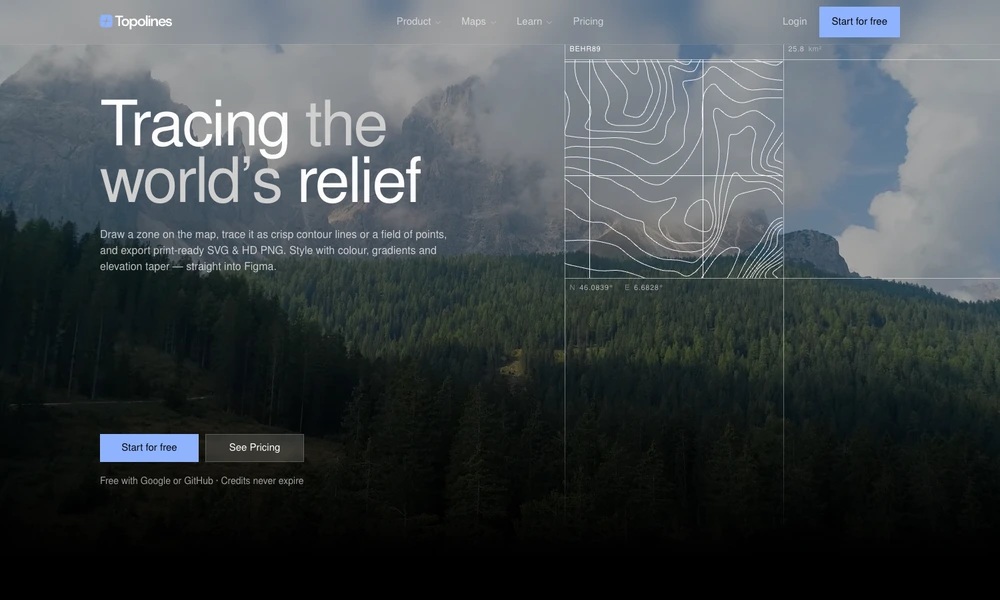
TopoLines turns real elevation data into contour maps and point-based terrain artwork. Users search for a place, draw the area to include, and adjust contour spacing, stroke weights, colors, gradients, and elevation taper. The service chooses available terrain data for the selected zone and also accepts georeferenced GeoTIFF uploads.
Maps can be exported as PNG images or editable SVG paths grouped by elevation, with GeoJSON and DXF options for GIS and CAD workflows. Additional controls add labels, peaks, grids, scale bars, and other map details. A Figma workflow brings the result into design projects, while paid credits unlock larger areas and expanded export options.
Tried it? Share a useful thought or ask a question.
Good conversations start with a hello.
Sign in to commentMap, manage, and analyze geographic information across desktop, cloud, and field work
Create maps, analyze spatial data, and build geographic applications
Design and deliver custom maps through SDKs, APIs, and geodata tools
Analyze spatial data in a cloud GIS platform
Explore satellite positions and public orbital information in a continuously updated 3D environment.
Explore countries and their economies on an interactive globe