

Atlas
Create maps, analyze spatial data, and build geographic applications
Explore satellite positions and public orbital information in a continuously updated 3D environment.
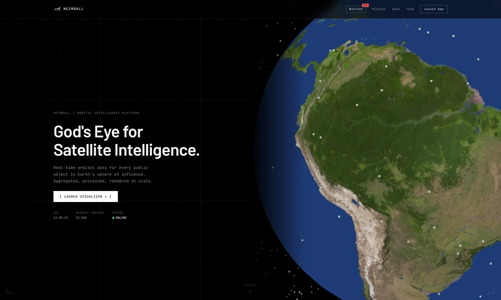
Heimdall brings public orbital data into a browser-based three-dimensional environment. It aggregates information about tracked satellites, crewed stations, constellations, and debris so users can explore objects across different orbital regions. Object information includes properties such as altitude, inclination, orbit classification, and activity status.
The platform combines sources that would otherwise need to be consulted separately, helping users connect an object's position with its identity, origin, and purpose. A live visualizer provides the main exploration interface, alongside an orbital feed of selected objects. Its published data sources include Space-Track and Jonathan McDowell's catalog, with NASA resources used for the space-station model.
Tried it? Share a useful thought or ask a question.
Good conversations start with a hello.
Sign in to commentCreate maps, analyze spatial data, and build geographic applications
Generate editable contour maps and elevation point artwork from real terrain data.
Explore historical events, people, and borders on an interactive globe
Analyze spatial data in a cloud GIS platform
Explore countries and their economies on an interactive globe
Explore simulated window views and sunlight on a three-dimensional globe.