

Felt
Bring operational data together on interactive maps
Analyze spatial data in a cloud GIS platform
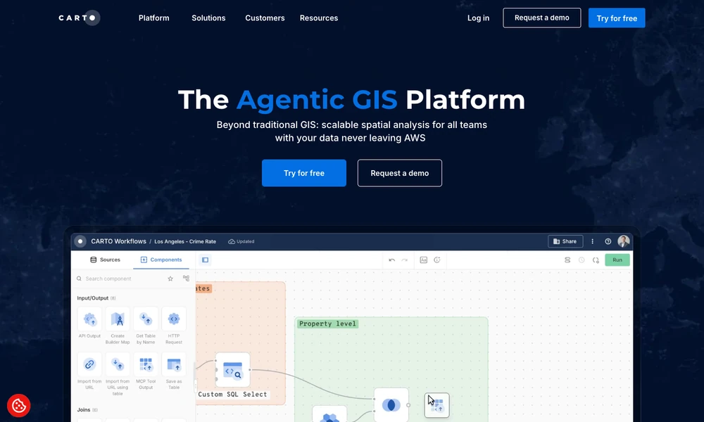
CARTO brings geospatial analysis into a team's cloud data workflow. Analysts can prepare location data, connect visual analysis components, and build interactive maps alongside other organizational datasets. A drag-and-drop interface supports workflows without writing every step in code.
Developers use APIs and visualization libraries to create mapping applications. AI features add natural-language questions, map creation, and agent-based workflows. The platform supports tasks such as site planning, network analysis, or examining geographic risk. Integration and deployment choices connect the spatial work to the organization's cloud environment. A team can move from analyzing a location-based question to sharing the result through a map or application.
Tried it? Share a useful thought or ask a question.
Good conversations start with a hello.
Sign in to commentBring operational data together on interactive maps
Use AI agents to analyze Earth data and physical asset risks
Map, manage, and analyze geographic information across desktop, cloud, and field work
Create maps, analyze spatial data, and build geographic applications
Generate editable contour maps and elevation point artwork from real terrain data.
Explore satellite positions and public orbital information in a continuously updated 3D environment.