

Atlas
Create maps, analyze spatial data, and build geographic applications
Explore cyclone scenarios and road access to essential facilities
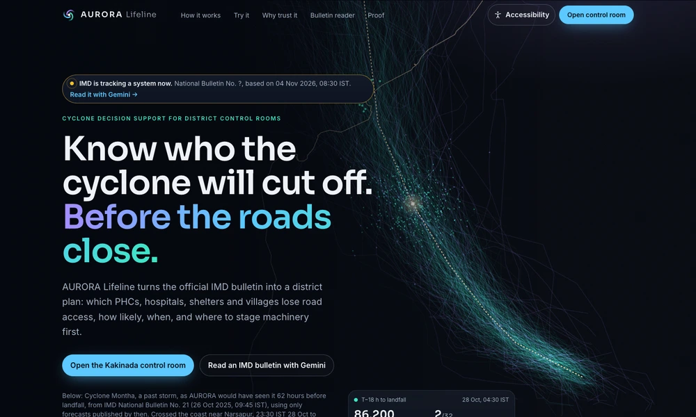
AURORA Lifeline is a public decision-support demonstration for examining how a cyclone could cut road access to villages and health facilities. It combines an official storm bulletin with forecast scenarios and road-network analysis, then presents the timing and likelihood of access losses on a district map.
The current interactive experience replays Cyclone Montha for Kakinada using information available before landfall. Users can move through the scenario, inspect affected facilities, and explore proposed priorities for positioning resources. A bulletin reader and advisory drafting tools accompany the map. The site distinguishes this historical replay from a live operational forecast and retains official weather authorities and human review as part of the intended workflow.
Tried it? Share a useful thought or ask a question.
Good conversations start with a hello.
Sign in to commentCreate maps, analyze spatial data, and build geographic applications
Generate editable contour maps and elevation point artwork from real terrain data.
Track air quality with live maps, forecasts, and connected monitors
Analyze spatial data in a cloud GIS platform
Explore satellite positions and public orbital information in a continuously updated 3D environment.
Explore countries and their economies on an interactive globe