

CARTO
Analyze spatial data in a cloud GIS platform
Bring operational data together on interactive maps
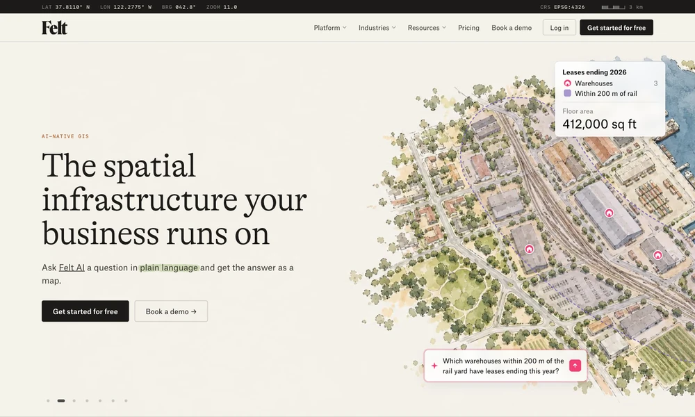
Felt brings mapping, spatial analysis, and collaboration into a browser. Upload data or connect a database, warehouse, or storage service, then work with other people on the map. Analysis tools include geocoding, buffers, intersections, point counts, and raster operations, with SQL and AI-assisted queries for further exploration.
Charts, filters, and annotations make the map a shared view of the data. Field apps collect forms, photos, and notes, including offline, and return them to the workspace. Developers can embed maps or automate changes through SDKs, APIs, and webhooks. Links, print layouts, and GIS exports provide different ways to deliver the resulting map.
Tried it? Share a useful thought or ask a question.
Good conversations start with a hello.
Sign in to commentAnalyze spatial data in a cloud GIS platform
Use AI agents to analyze Earth data and physical asset risks
Map, manage, and analyze geographic information across desktop, cloud, and field work
Create maps, edit spatial data, and run geospatial analysis with open-source GIS
Create maps, analyze spatial data, and build geographic applications
Generate editable contour maps and elevation point artwork from real terrain data.