
QGIS
Create maps, edit spatial data, and run geospatial analysis with open-source GIS
Investigate where a photo was taken with maps, terrain, and image evidence.
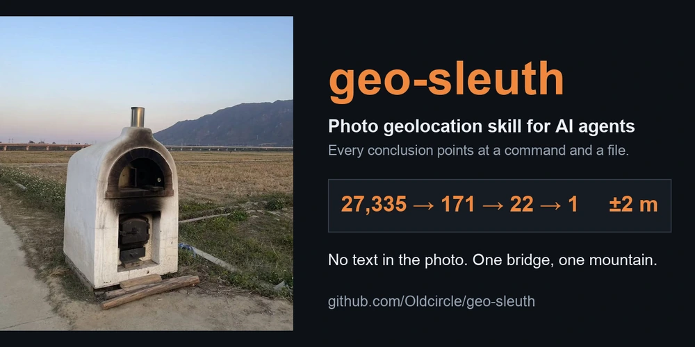
geo-sleuth is an open-source agent skill that helps estimate where a photograph was taken. It combines image metadata, OCR, reverse image search, OpenStreetMap features, terrain elevation, satellite imagery, and street-view comparisons to investigate candidate locations. Python scripts search and rank evidence, while a compatible agent interprets the results and explains its reasoning.
The workflow records candidate locations and links conclusions to the commands and files that produced them. Reports can include coordinates, an error radius, camera direction, an evidence image, and a confidence grade. It runs through agents such as Claude Code, Codex, and Cursor rather than a standalone hosted app. Results depend on the photograph, available data, and the agent's decisions.
Tried it? Share a useful thought or ask a question.
Sign in to join the discussion.
Sign in to commentCreate maps, edit spatial data, and run geospatial analysis with open-source GIS
Inspect photo location metadata and explore clues on a map
Analyze spatial data in a cloud GIS platform
Bring operational data together on interactive maps
Map, manage, and analyze geographic information across desktop, cloud, and field work
Use AI agents to analyze Earth data and physical asset risks