

TopoLines
Generate editable contour maps and elevation point artwork from real terrain data.
Turn smartphone trench captures into CAD plans and spatial documentation.
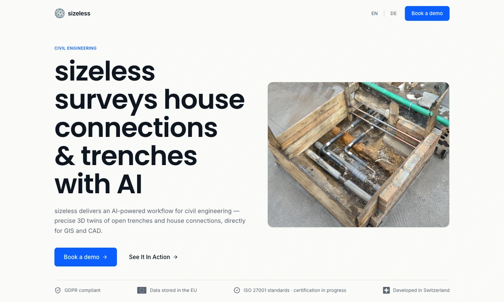
sizeless provides a capture-to-documentation workflow for civil engineering teams working on trenches and house connections. Field staff use its SiteScan iPhone app to record an open excavation with a guided smartphone workflow. The resulting material is processed into a three-dimensional point cloud and documentation for existing engineering tools.
Outputs include CAD as-built plans in DWG or DXF formats, spatial models, and GIS-ready information. Teams can preserve a record of pipe routes, couplings, utilities, and building entries before a trench is filled. This gives network operators and project teams a shared basis for reviewing dimensions, planning maintenance, and preparing project records without relying only on handwritten sketches.
Tried it? Share a useful thought or ask a question.
Good conversations start with a hello.
Sign in to commentGenerate editable contour maps and elevation point artwork from real terrain data.
Map, manage, and analyze geographic information across desktop, cloud, and field work
Explore spatial patterns through linked maps and statistical analysis
Explore historical events, people, and borders on an interactive globe
Create maps, edit spatial data, and run geospatial analysis with open-source GIS
Design and deliver custom maps through SDKs, APIs, and geodata tools