

QGIS
Create maps, edit spatial data, and run geospatial analysis with open-source GIS
Explore spatial patterns through linked maps and statistical analysis
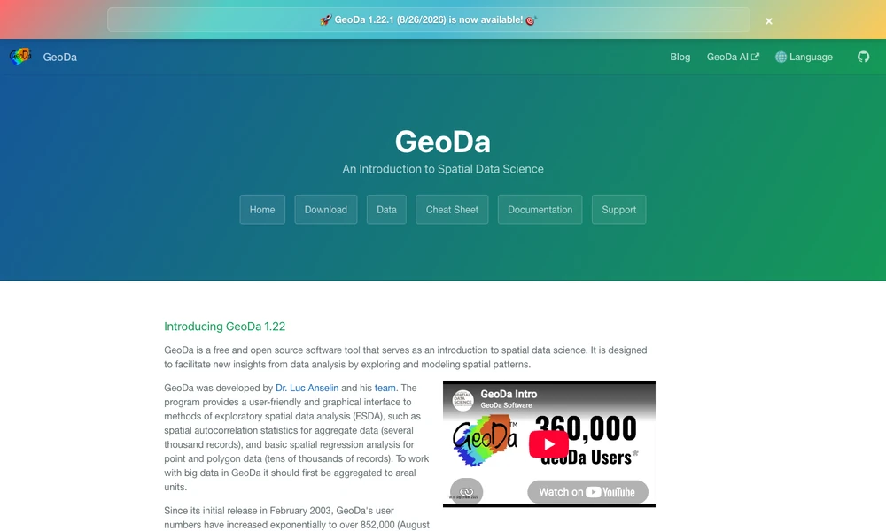
GeoDa is an open-source application for exploring patterns in geographic data. Linked maps and charts connect individual observations with distributions and statistical results, helping users investigate spatial relationships. The toolkit includes spatial autocorrelation, local cluster maps, and basic spatial regression for point and polygon data.
It also offers methods such as principal component analysis, k-means, and spatially constrained clustering. Windows, macOS, and Linux versions support a range of vector data formats. Researchers can compare variables across linked views and time periods. The documentation recommends aggregating very large datasets into geographic areas before analysis, which helps define a suitable scale for a project.
Tried it? Share a useful thought or ask a question.
Good conversations start with a hello.
Sign in to commentCreate maps, edit spatial data, and run geospatial analysis with open-source GIS
Generate editable contour maps and elevation point artwork from real terrain data.
Turn smartphone trench captures into CAD plans and spatial documentation.
Map, manage, and analyze geographic information across desktop, cloud, and field work
Design and deliver custom maps through SDKs, APIs, and geodata tools
Explore simulated window views and sunlight on a three-dimensional globe.